Specialties / 01 Hydrology & Hydraulics

Hydrology & Hydraulics

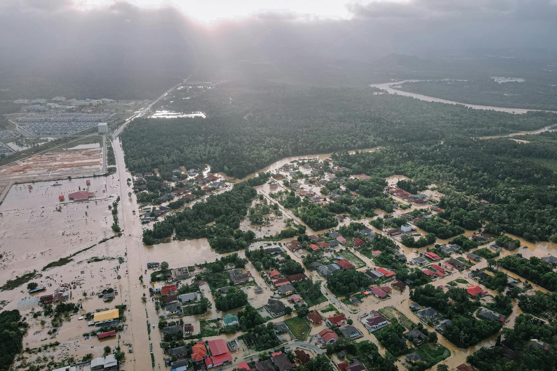
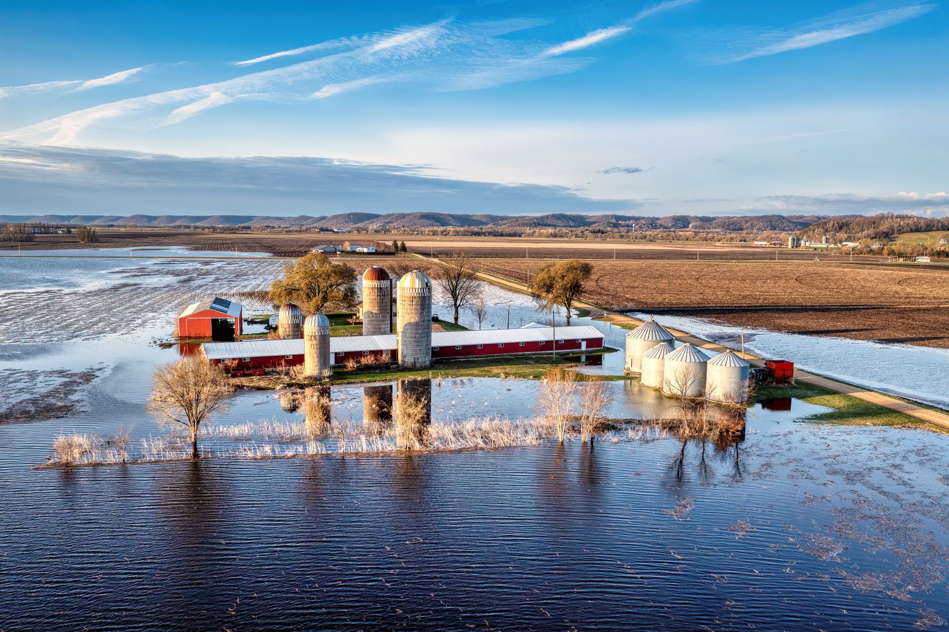
Flood studies that establish either the risk to infrastructure from a future flood, or the cause and extent of damage from one that already happened.

Scroll to explore

Hydrology & Hydraulic (H&H) Expertise

One of the most common sources of damage to a property is floodwater. Floodwater inundating a property may be due to direct rainwater, runoff, or even river flooding. Flood studies are conducted either to establish the risk to infrastructure from a future flood, or to assess the damage extents from a previous flood. These studies consist of either Hydrological or Hydraulic studies, or both. If the river is the source, then both a Hydrology and Hydraulic (H&H) study is required. MarcorSEN Engineering has provided numerous H&H studies involving both potential and actual riverine flooding.

I

Modeling the watershed.

Hydrology studies involve modeling a geographic area known as a watershed. The watershed is the area from which rainfall will be collected and channeled to flow to the property or structure which is at risk for flooding. The watershed is comprised of subbasins, which are modeled in hydrology software with the land characteristics which affect the flow of water over the terrain in that subbasin. A worst-case design storm (usually the 100-year storm) is then modeled and the resulting water flow at certain points within the watershed is calculated.
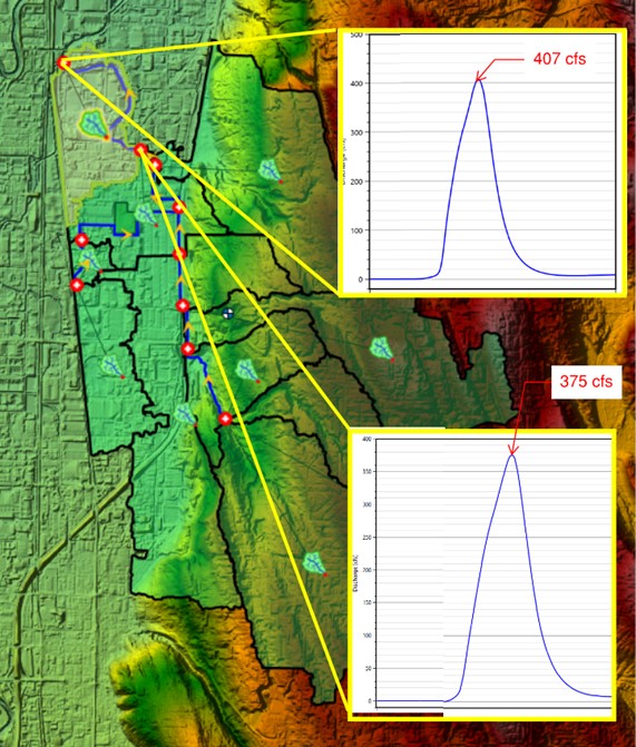
Watershed hydrology model

II

Modeling the flow at the property.

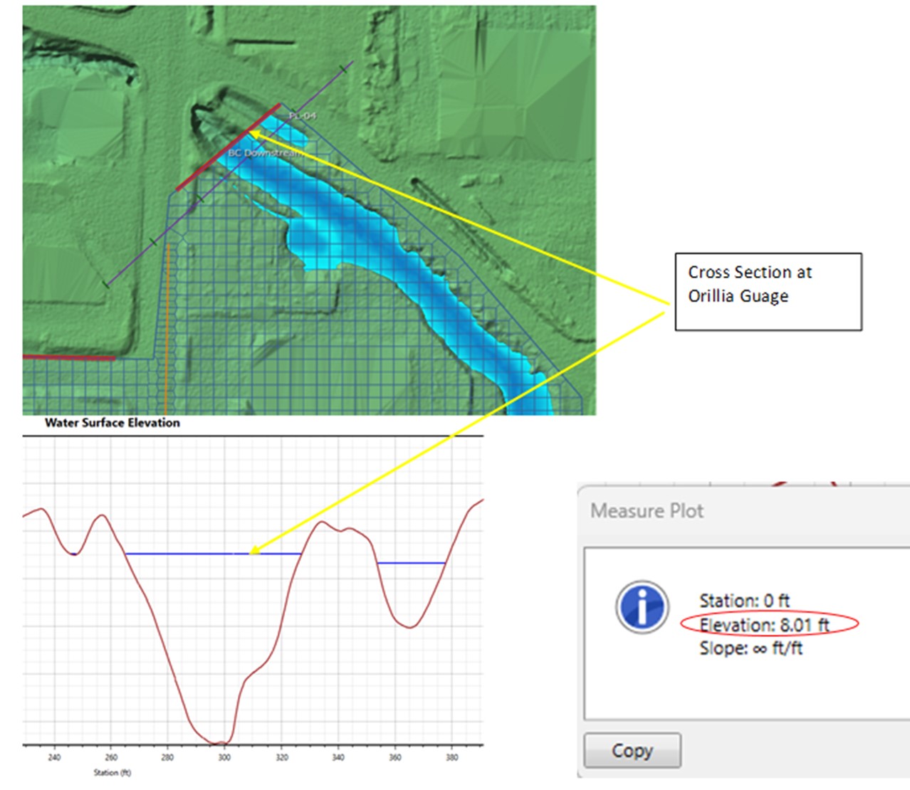
Once the flow due to the 100-year or other storm is determined at certain points from the hydrology study, a detailed hydraulic study is performed to see how exactly that flow will affect a property or structure. The land terrain is modeled using closely-spaced survey points (usually from a LIDAR survey) and the water flow over that area is modeled in hydraulic software using engineering fluid mechanics equations.

This allows the engineer to determine, among other things, the extent of flooding, the depth of flooding, and the water velocity at any point within the surveyed area, and other detailed flood information. This information is critical to clients to establish the cause or potential risk of flood-related damage.

Hydraulic flood model over surveyed terrain
01

Hydrologic & Hydraulic

  • Hydrology studies
  • Hydraulic analysis
  • Stormwater
  • Drainage
  • Bridges over water ways
02

Water

  • Water infiltration
  • Water intrusion
  • Rot
  • Rain & flood damage
  • Storm damage

Recent forensic work in this practice area.

Riverine flood studies, potential and actual flooding
/01

Riverine flood studies, potential and actual flooding

MarcorSEN Engineering has provided numerous H&H studies involving both potential and actual riverine flooding, modeling design storms across full watersheds, then running detailed hydraulic simulations over LIDAR-surveyed terrain to establish flood extent, depth, and velocity at the property in question.

Have a case that needs a forensic engineer?

Request a consultation