I
Hydrology & Hydraulic
Hydrology & Hydraulic Expert Consultation
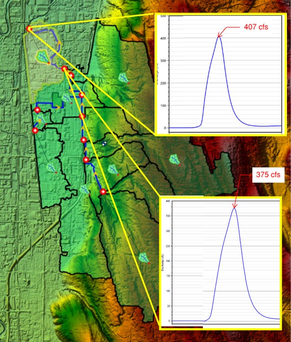
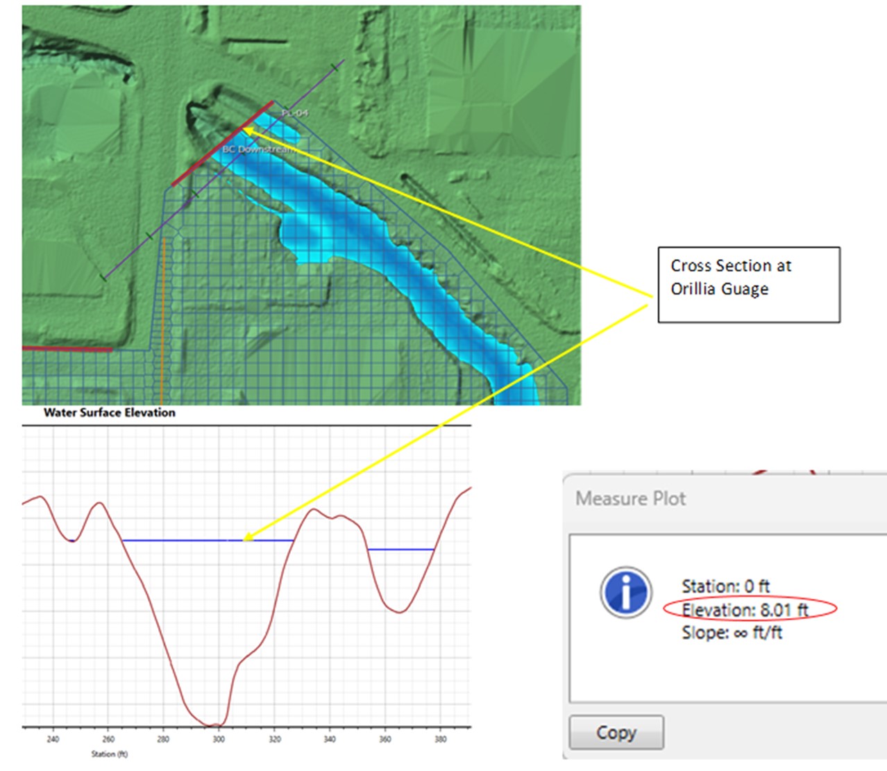
One of the most common sources of damage to a property is floodwater, from direct rainfall, runoff, or river flooding. MarcorSEN Engineering models full watersheds against design storms, then runs detailed hydraulic simulations over LIDAR-surveyed terrain to establish the extent, depth, and velocity of flooding at the property in question, whether the goal is proving what happened or assessing the risk of what could.
01
Hydrologic & Hydraulic
- Hydrology studies
- Hydraulic analysis
- Stormwater
- Drainage
- Bridges over water ways
02
Water
- Water infiltration
- Water intrusion
- Rot
- Rain & flood damage
- Storm damage